Radar
Faribault Radar
About 50 miles around Faribault, from the Chanhassen radar (KMPX).Rice County and about 25 miles around Faribault, from the Chanhassen radar (KMPX).Minnesota, western Wisconsin, northern Iowa, eastern Dakotas: NWS regional view, all radars combined.
Rain on radar within 50 miles. Rain chance next 3 hours: 76%, most likely now. (radar at 2:09 a.m.)
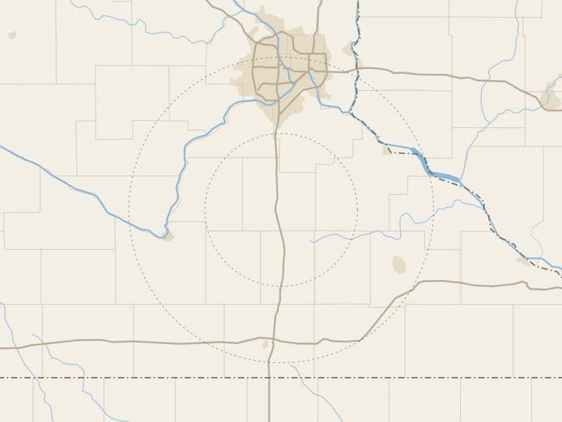
Updated 2:09 a.m.
Airport check.
Rain in the last 24 hours (MRMS radar estimate)
An estimate from radar by NOAA's Multi-Radar Multi-Sensor system (MRMS), through the Iowa Environmental Mesonet, not a rain gauge's reading: the rain a place got can differ.
What the colors mean
- 15 to 24 dBZ Decibels of reflectivity, radar's unit. The scale runs from about -35 to +85; generally, the higher it is, the heavier the precipitation. NOAA JetStream Very light to light, or clutterRain rate under 0.05 in. an hour
- 25 to 34 dBZ LightRain rate 0.05 to 0.22 in. an hour
- 35 to 44 dBZ Light to moderateRain rate 0.22 to 0.92 in. an hour
- 45 to 54 dBZ Moderate to heavyRain rate 0.92 to 4 in. an hour
- 55 to 64 dBZ Heavy, or some hailRain rate 4 to 16 in. an hour
- 65 dBZ and up Extremely heavy, including hailRain rate 16 in. or more an hour
Radar measures Reflectivity The amount of energy that returns to the radar after hitting a target. NOAA JetStream, the energy that comes back to it, not rain itself, so these are approximate rates for an hour, not the rain a place gets. Words and rates: NOAA JetStream.
Storm reports on the map
Scans come about every 5 minutes; the 6-hour loop shows one every 10 minutes.