Today
Tue. Nov. 3
Wettest day · 90%
High 59°
Low 46°
Light Rain
90% chance of rain
No warnings for Rice County
NWS hourly forecast · rain timing: HRRR via Open-Meteo
No snow yet this season, 0.2 in. below normal. Winter weather »

Updated 1:15 a.m.
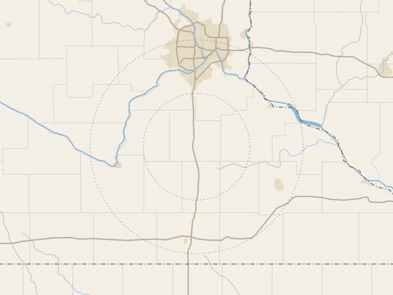
Today's timelapse »Rain on radar within 50 miles. Rain chance next 3 hours: 76%, most likely now.
Updated 1:07 a.m.
Tonight: Clouds until dawn.
Waning crescent, 40% lit
Sets 2:25 p.m.Rises 1:54 a.m. tomorrow
New moon Nov. 9Full moon Nov. 24
Aurora: Quiet. SWPC forecasts Kp 2 at most tonight; Faribault needs about 7.
Shaded: our likely high, 49° to 59°; the line is its center. 7-day forecast »
Average of 2007-2025; the band is the middle 8 in 10 of those years. Storm days: a warning for Rice County or a storm report within 20 miles.